
Mach4Solutions
Mach4Solutions is a Marine Veteran-owned and operated company founded in 2025 by John Kelly, an Embry-Riddle Aeronautical University graduate with a passion for innovative drone technology. Our mission is to implement cutting-edge unmanned aircraft systems and data analytics to deliver precise, reliable aerial insights for a wide range of industries.
With a strong commitment to safety, innovation, and environmental stewardship, Mach4Solutions leverages advanced drone platforms to support applications from agriculture and land management to search and rescue and infrastructure inspection. Our expertise combines aviation experience, technical knowledge, and a dedication to serving our clients’ unique needs.
At Mach4Solutions, we strive to be a trusted partner, helping organizations harness the power of drone technology to improve efficiency, enhance decision-making, and promote sustainable practices. We believe that innovation and integrity drive progress, and we are proud to bring these values to every mission we undertake.

Our Fleet
Mach4Solutions operates a flexible drone fleet designed to support solar inspections, aerial documentation, mapping, and close-range visual assessment.
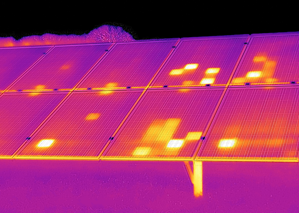
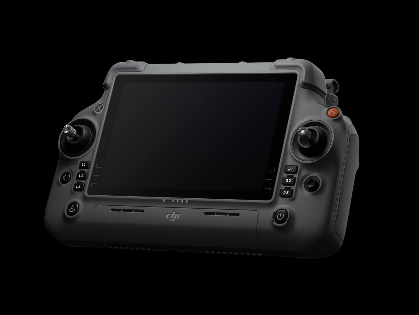
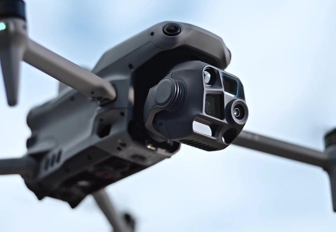
Our primary inspection platform is the DJI Matrice 4T (M4T), a compact enterprise drone equipped with thermal imaging, high-resolution visual cameras, zoom capability, laser rangefinding, obstacle sensing, and RTK-supported positioning. The M4T allows us to capture detailed RGB and thermal data for solar panel inspections, infrastructure assessments, land management, and other aerial service needs. Its sensor package helps identify abnormal heating, visible damage, access concerns, and other conditions that may not be obvious from the ground.
We also operate the DJI Avata 2, a smaller FPV drone used for close-range visual perspectives, confined-area awareness, and supplemental documentation when appropriate. The Avata 2 is not a replacement for the M4T’s thermal inspection capability, but it provides a useful secondary platform for capturing dynamic visual footage, lower-altitude views, and unique angles that may support site documentation.
Together, the Matrice 4T and Avata 2 give Mach4Solutions the ability to match the aircraft to the mission. Whether performing solar inspections, documenting property conditions, supporting land management, or capturing aerial visuals, our fleet provides the flexibility to gather useful data safely, efficiently, and with purpose.
Our Services
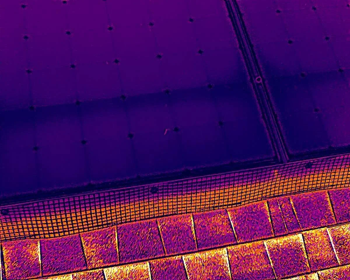
Our Standard Residential Solar Inspection is designed for homeowners who want a more complete look at the condition of their solar panel system. This service includes RGB and thermal images of each accessible solar panel, giving you a clear panel-by-panel view of the system.
This inspection can help document visible damage, abnormal heating, soiling, shading concerns, panel-level issues, or other conditions that may affect solar performance or require follow-up by a solar contractor or qualified electrician.
This option is best for most residential solar systems and is a good choice if you are concerned about reduced production, recent storm damage, possible panel problems, or simply want a clearer understanding of your system’s condition.
After the inspection, Mach4Solutions provides organized images and a simple summary of findings so you know what was observed and what next steps may be worth considering.
For more information, questions, or to schedule a Standard Residential Solar Inspection, please contact Mach4Solutions at 928-277-9274.
Mach4Solutions provides drone-assisted search and recovery support using aerial imaging, thermal capability, zoom cameras, and close-range visual documentation when appropriate. Drones can help cover large areas more efficiently, check difficult terrain, and provide overhead awareness while reducing unnecessary risk to ground searchers.
Search and recovery services may support:
Lost property or equipment searches
Livestock or animal location support
Rural land and field searches
Hard-to-access terrain checks
Supplemental aerial support for organized search efforts
Thermal-assisted searches when conditions are suitable
Drone search work does not guarantee detection or recovery. Vegetation, terrain, weather, heat conditions, lighting, battery limits, and access restrictions can affect results. Mach4Solutions provides aerial support and documentation, but emergency response, law enforcement, and official search operations remain under the authority of the responsible agency or property owner.
Every project is different. For more information, questions, or a custom service request, please contact Mach4Solutions at 928-277-9274.
In addition to solar inspections, Mach4Solutions offers custom drone services for property owners, businesses, land managers, contractors, and organizations needing aerial documentation or inspection support. Drone imagery can provide a safer, faster, and more useful view of areas that may be difficult to inspect from the ground.
Other drone services may include:
Property and land documentation
Roof and structure overview images
Construction progress photos
Real estate and listing imagery
Agricultural and field overview images
Fence line, road, driveway, or access route checks
Storm, wind, or damage documentation
Custom aerial photo and video requests
Each project is reviewed based on location, airspace, safety, weather, access, and the type of imagery needed. If the request does not fit a standard service package, Mach4Solutions can provide a custom quote based on the scope of work.
Every project is different. For more information, questions, or a custom service request, please contact Mach4Solutions at 928-277-9274.
Contact Us
Interested in working together? Fill out some info and we will be in touch shortly. We can’t wait to hear from you!